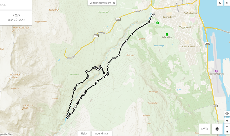
Glerá Valley circle - Upper
The hike goes from the bridge by the beginning of the road Hlíðarfjallsvegur, upp along the so called path "Fallorkustígur" up to the reservoir / dam for the hydro powerplant where the hike started and returns along the otherside of the river.
Car park is by the new hydrow powerplant above the bridge. The walk goes south along the canyon up along the area of the car club and the motorbike club. Then it takes a bend around the area of the shooting Club "Skotfélags Akureyrar", before it continues further into the valley and along the river to end by the dam / reservoir.
By the dam the walk crosses continues over the walls of the dam and up the steep slope of the other side of the canyone. Up onto the path that continues further into the valley or down to the parking by the end of Súlurvegur road. When at the parking the walk continues along the road down along the river to the bridge where the walk started.
Some variations can be made to the walk e.g. by crossing the river along some of the 3 bridges found along the valleys lowerpart. The first bridge is close to the parking by Súluvegur road, another midways down the road (a horse bridge) and the last one is close to the "horse village".
The big ring upp to the dam
(On the map one also sees the possible version to cross the river over the hiking bridge which is just below the parking area by the end of the Súlur road).
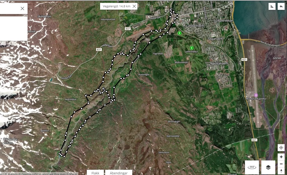
Súluvegur (Súluroad) and the hiking path to the dam
It is possible to walk/bike or drive up the Súluvegur road and then continue by foot or bike from the parkingsite to the dam.