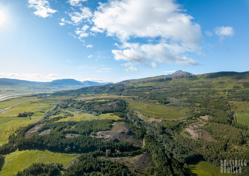
Kjarnaskógur
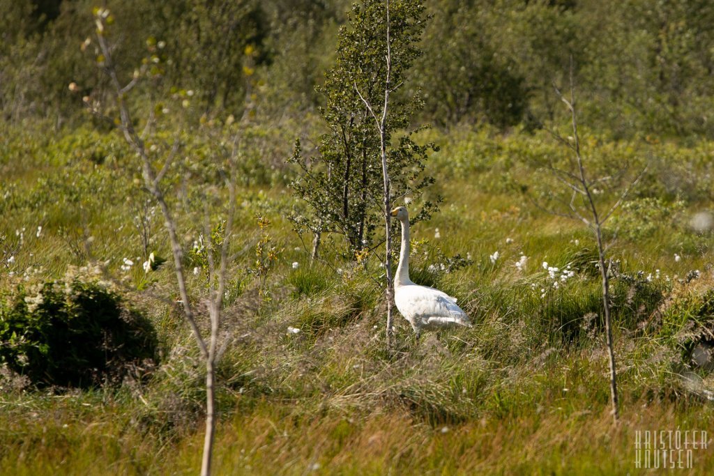
Kjarnaskógur is a woodland area south of Akureyri and one of the town’s most popular recreational areas. The area covers approximately 800 hectares. In 1950, there were no trees in the area at all, but since then more than 1.5 million trees have been planted, creating excellent shelter and conditions for outdoor activities.
Facilities and Activities
In the area you will find:
- Playgrounds
- Volleyball courts (both grass and sand)
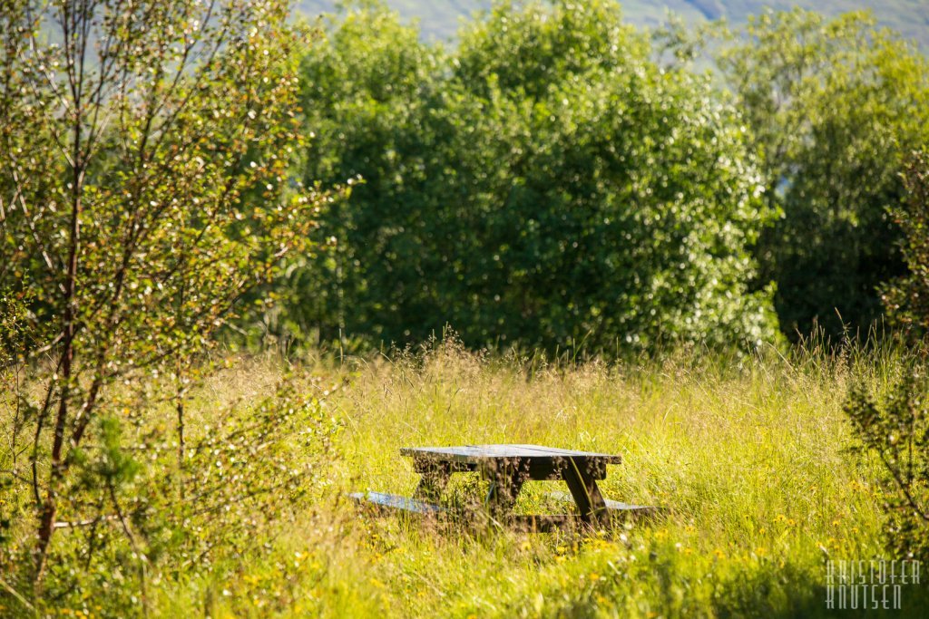
- Covered barbecue facilities suitable for both individuals and groups
- Picnic tables
- Toilets and water fountains
- A mountain bike trail
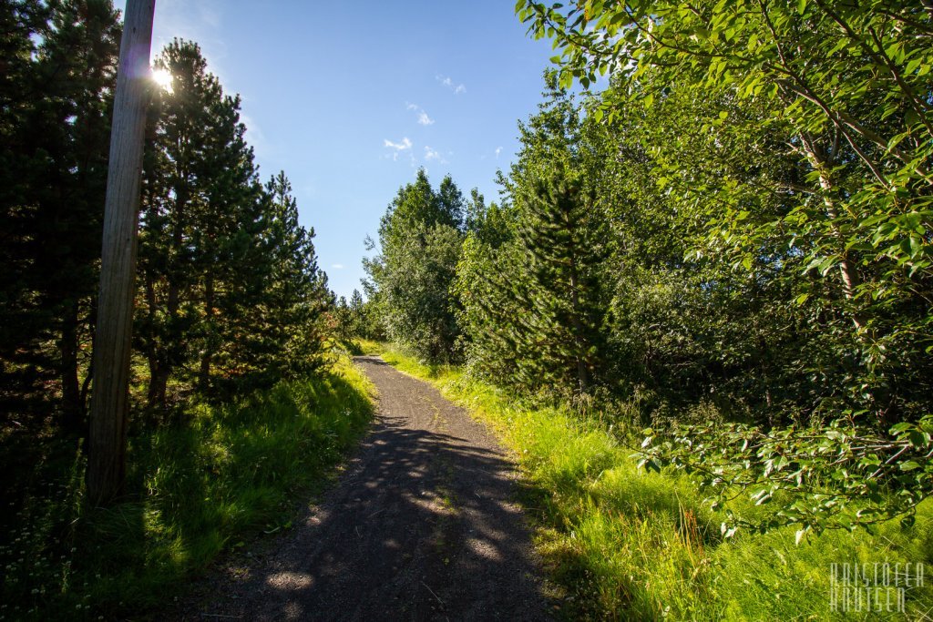
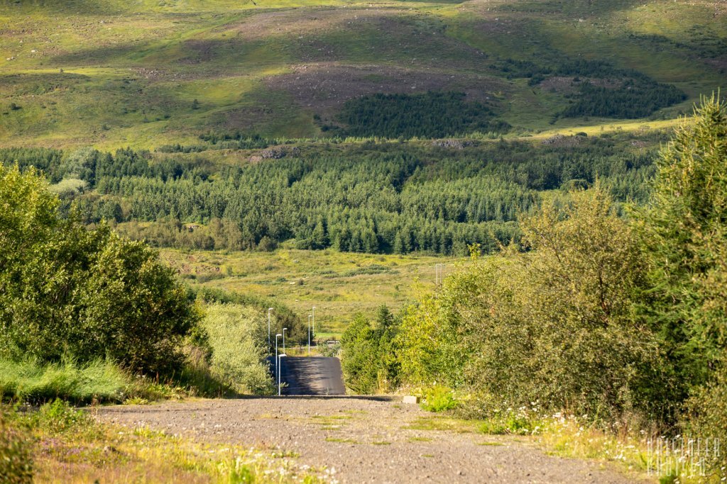
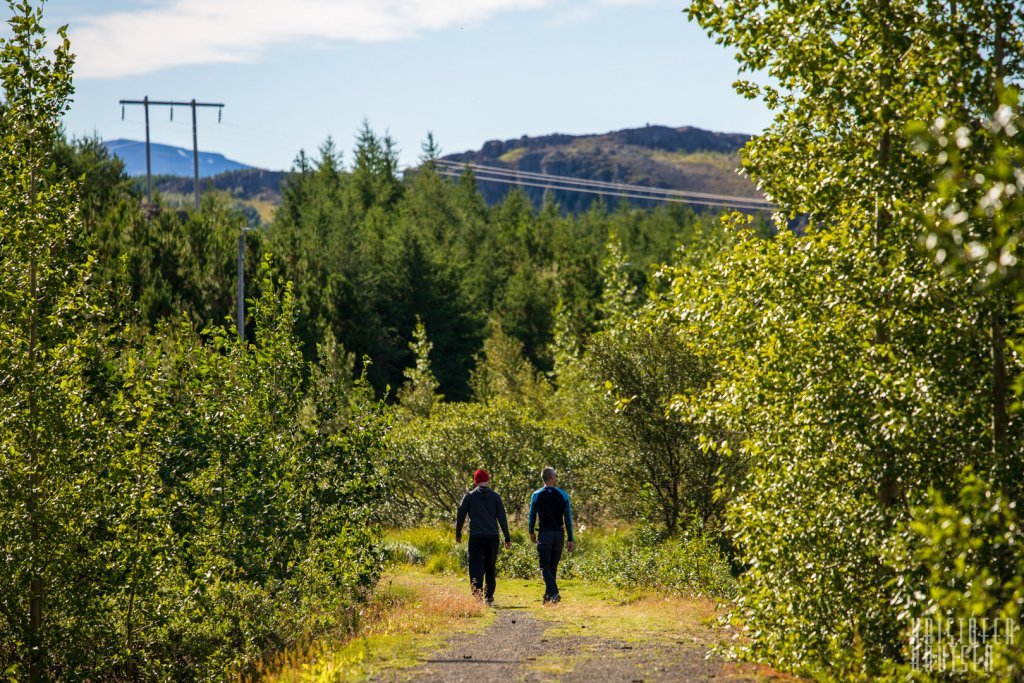
- Approximately 12 km of gravel paths, including 6 km of illuminated trails
- Several additional walking paths and hiking trails
- Four parking areas
- The largest organized cross-country skiing area in woodland terrain in Iceland, with approximately 20 km of prepared tracks, of which 6 km are illuminated (wintertime)
- Designated sledging area by the sun clock (wintertime)
- .... and much, much more
Maps of the Area
* Overview of all trails
* Kjarnaskógur - Overview of easy tracks
* Hamrar
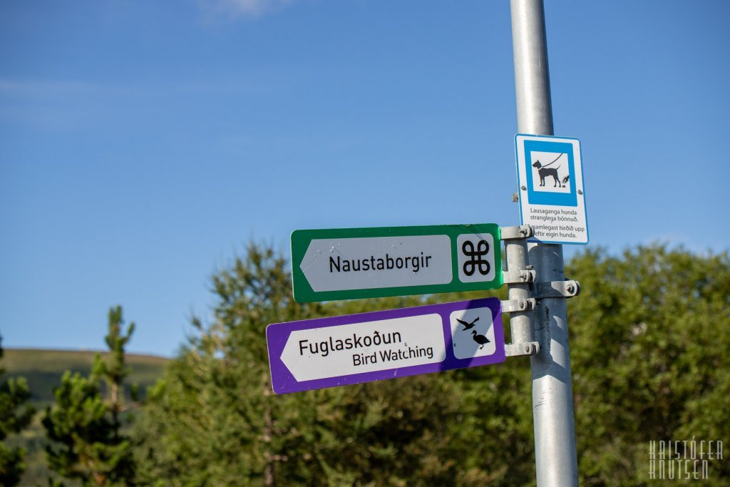
* Naustaborgir
* Cross - Country trails
How to Get There:
🚌 By Bus: Use the local Route Planner and get off at Kjarnagata/Vallatún. From the bus stop, it is approximately a 1.5 km walk to the forest. Look here (refresh the link and select your preferred route option — the map will then update automatically).
🚕 By Taxi: Phone: (+354) 461 1010 / 588 5522, Website: www.hreyfill.is
📍 By Google Maps: Kjarnaskógur is easily accessible by bus, foot or by car, and route options can be found on Google Maps. Look here (refresh the link).
Management
The area is owned by Akureyri Municipality but taken care of by the local Forestry Association:
Skógræktarfélag Eyfirðinga
Email: ingi@kjarnaskogur.is
Webpage: www.skog.is/skograektarfelag-eyfirdinga/
Phone: (+354) 4624047
Maps of the Area:
Overview of all trails
Kjarnaskógur - Overview of easy tracks
Hamrar
Naustaborgir
Cross - Country trails