Ystuvíkurfjall
The hike begins by the parking area at the highest point of the mountain pass Víkurskarð (on the north side of the road).
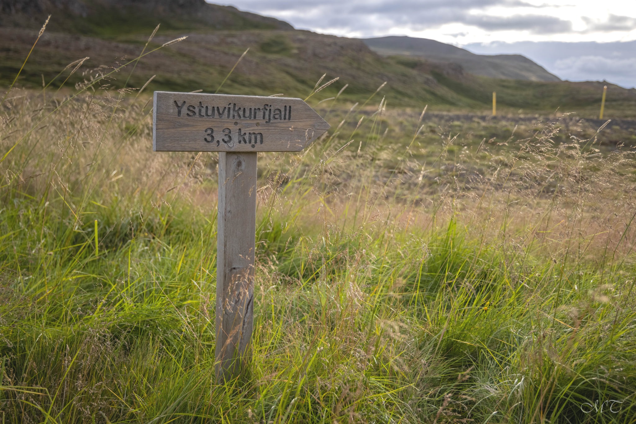
From the parking area walk west (towards the fjord Eyjafjörður), when leaving the parking area one finds a sign by the beginning of the trail saying "Ystavíkurfjall" and from there every now and then some yellow poles lead the way along the trail to the mountain top.
The first part of the trail (just after the parking area) one crosses a peat meadow, then arrives and follows a short gravel road leading up to a small hut and an antenna in the hill side. From there the route continues along a "mud"-sheep-track along the hill crossing some creeks, berry land/meadows before arriving to a small valley below some rocky hillside called
Hrafnabjörg. From there the trail continues up the mountain Ystuvíkurfjall. The top of the mountain is 552 m high. A cairn and a guestbook can be found on site.
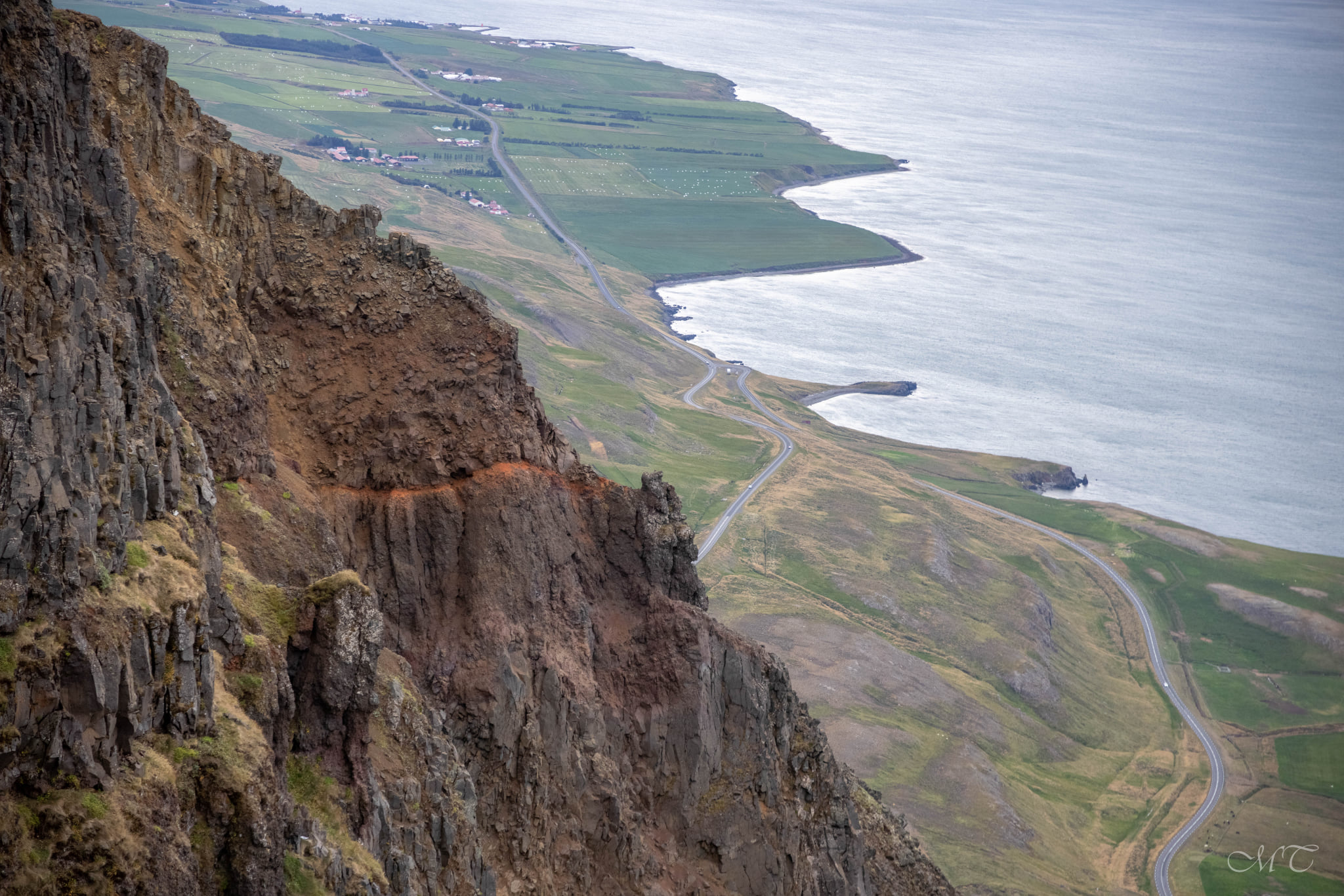
From the top there is great view of the fjord to the south along the coastline towards Akureyri and to the north towards the mountain Kaldbakur and the island Hrísey as well as cross the fjord towards Dalvík, Árskógssandur & Hjalteyri.
Total length of walk is about 7 km. The hike begins in 300 meters over sea level and elevation is therefore about 250 meters.
Distance: 7 Km / 4.3 miles
Total time: 3-4 hours
Start/End point: Parking area at top of Víkurskarð road
Terrain: Sheep tracks
Parking: Parking area at top of Víkurskarð road
Interesting sights: Ystuvíkurfjall, great view of the fjord area & cairn. Good area for blueberry picking during autumn