Hrísey island - 4 hikes
Hrísey is about 11,5 square kilometres. The island is about 7 km long and 2,5 km at its widest. Its highest point is by the lighthouse on the north end, or about 110 meters above sea level.
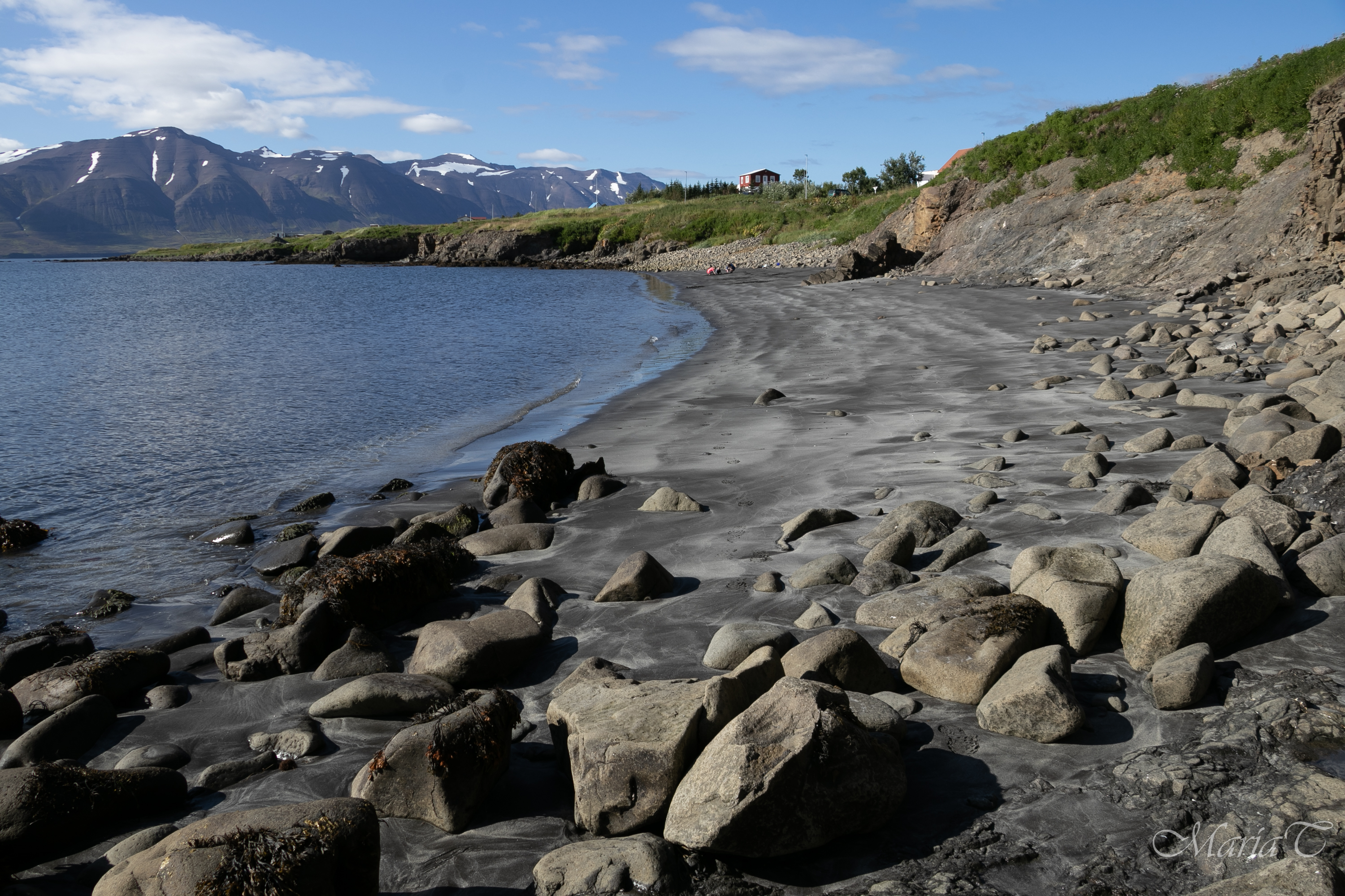
Much of the islands east coast is steep with high cliffs and spectacular cliff formations and skerries, while the west and south shore go more softly towards the ocean offering easy access to beaches and the shoreline. Close to the village are some nice sand beaches fun for playing and sea bathing. The beaches change according to seasons and weather.
The access to the islands north part is limited as it is privately owned and an Eider duck protection area. 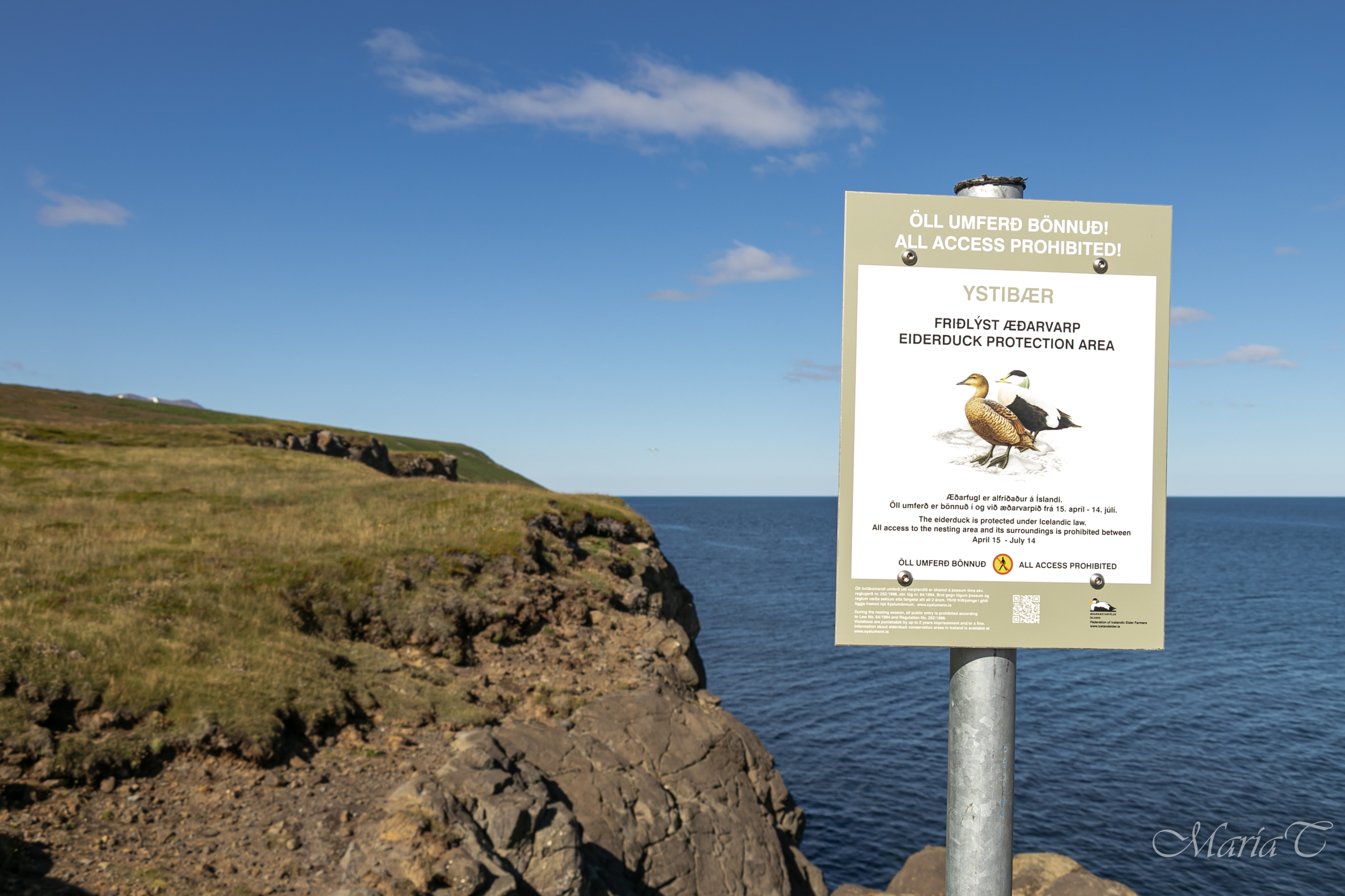 The north part is separated by a fence across the island, with a gate on the road leading to the lighthouse. This part can be visited through organized tours with the local Tourism association (phone 695 0077) and through permission by the land-owners. The most restricted and sensitive time is the nesting period from mid-April to mid-July.
Access to the south part of the island (where the harbor and village is) is good all year and welcome to all!
Guest are though asked to be aware and respect the bird life, especially during the nesting period ( May til mid-July) and keep dogs in leash.
This part of the island has four hiking trails:
1. Green trail 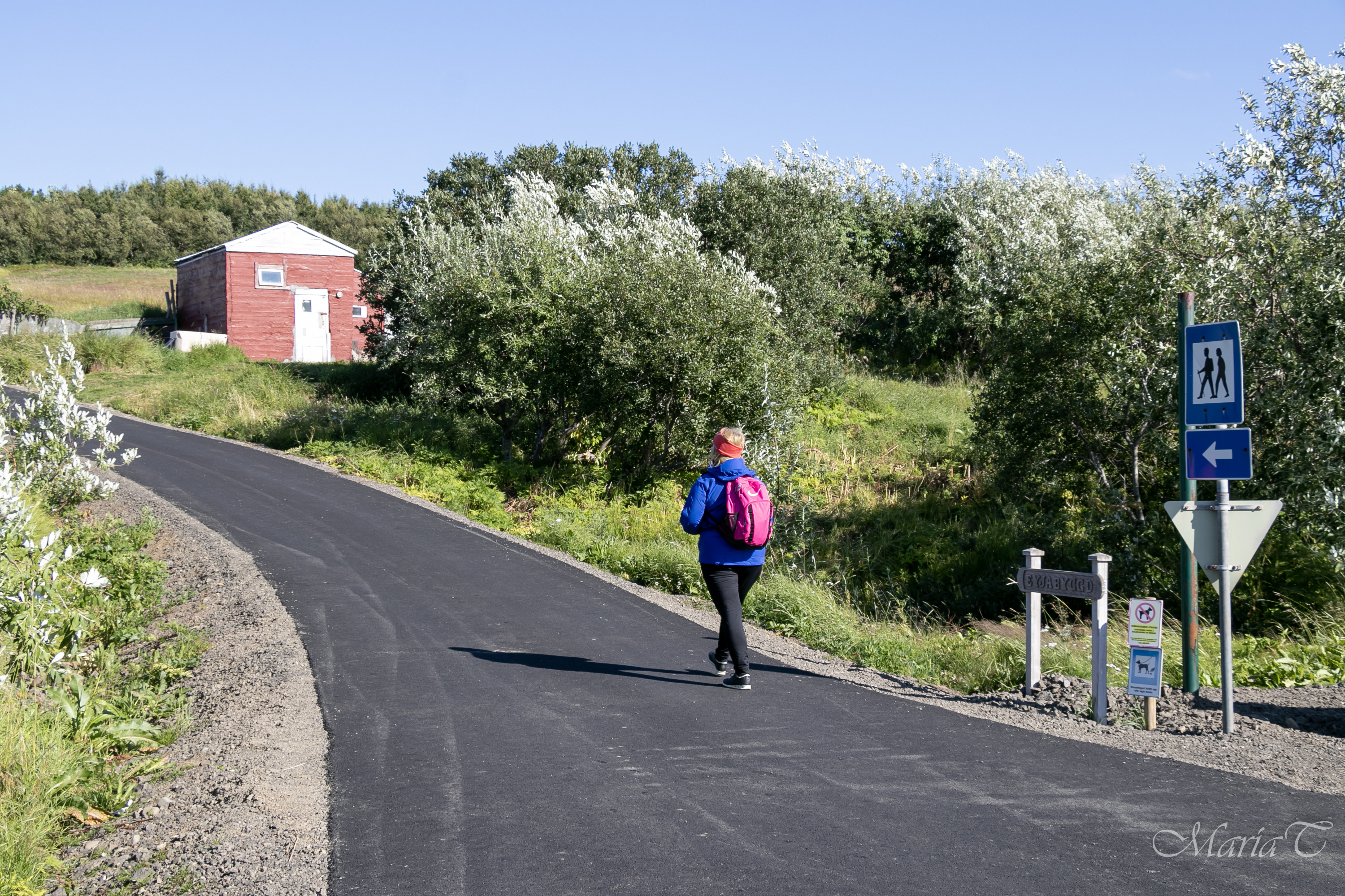 (marked with poles)
Distance: 4.1 km (round trip)
Duration: 1+ hours.
Terrain: Asphalt on roads in the village, gravel and mud trails
Start/End point: Ferry harbour
Parking: Árskógssandur – ferry harbour
Interesting sights: Village, Háborðið viewpoint, art Yggldrasil, Energy well
Popular circle to walk that passes many interesting places in Hrísey. Starting from the ferry harbour in Hrísey along the street Sjávargata up to street Norðurvegur in the heart of village where one finds the church, museums and the local store. 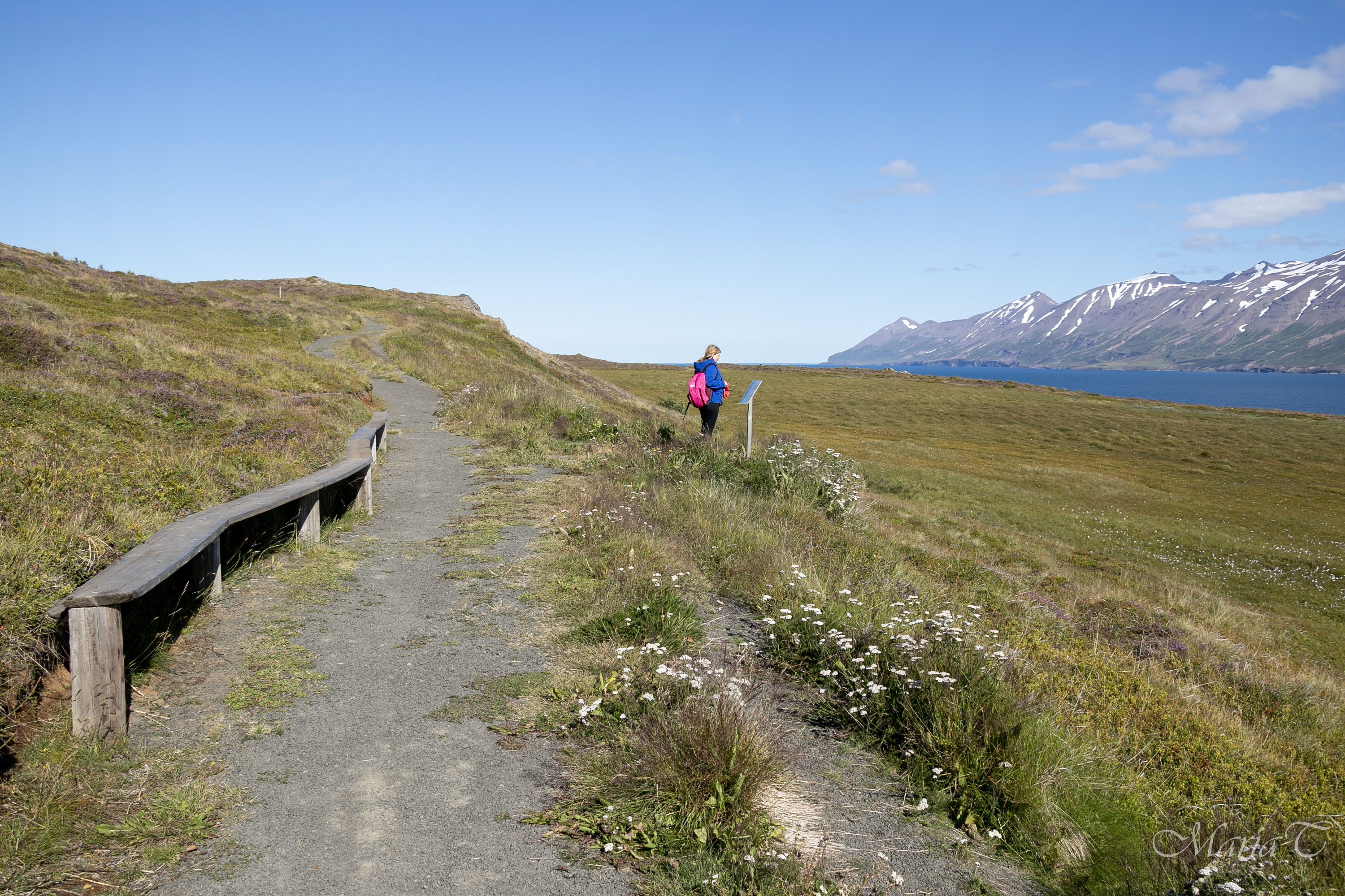
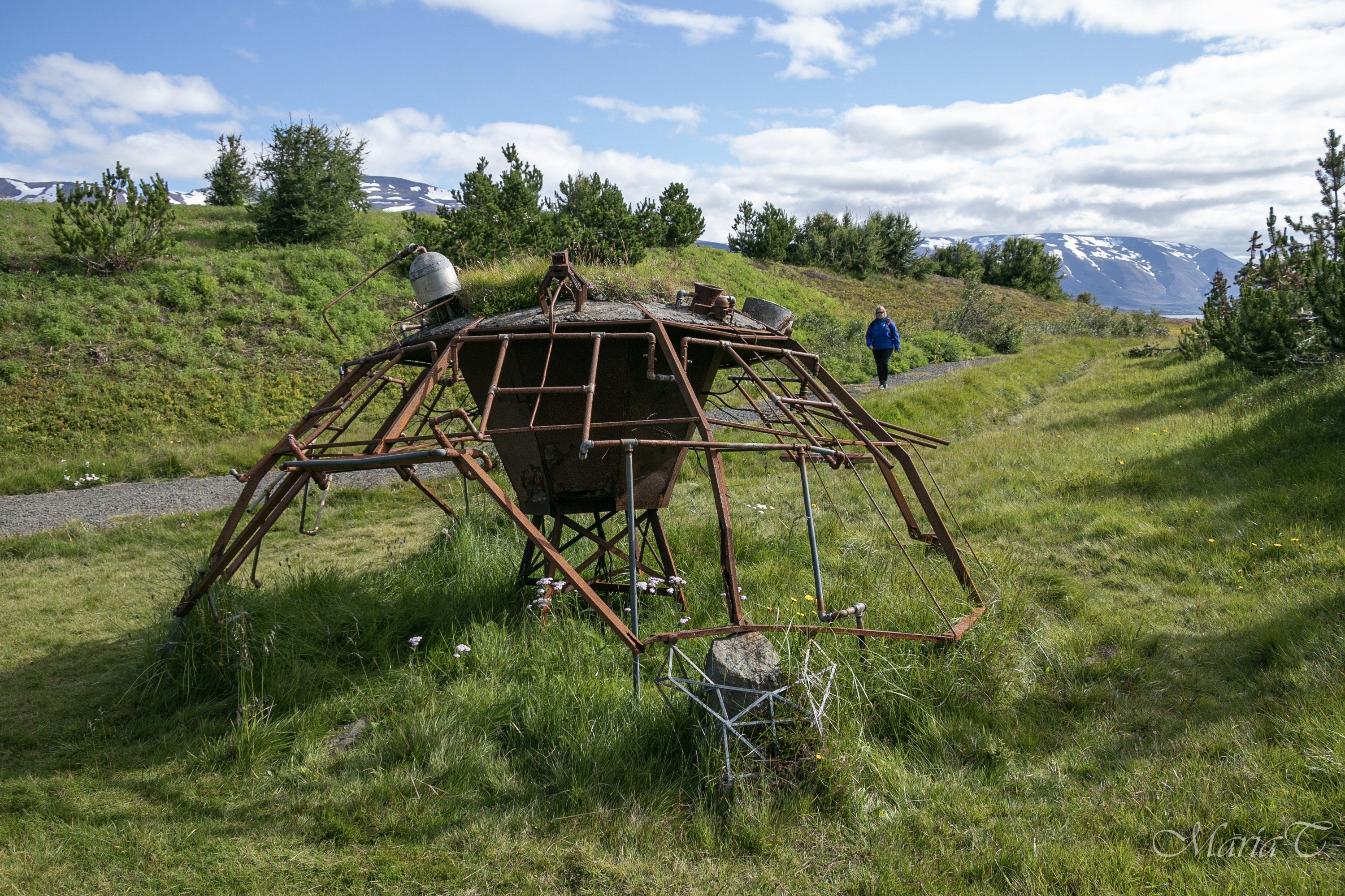
Head north along Norðurvegur through the rich angelica fields and turn right towards the wooden racks used for drying fish and follow the trail up to the viewpoint called Háborðið with picknick-table. Continue to right and down a small hill down to a flat area with the art peace Yggldrasil (inspired by the Old Norse mythology) which is an immense mythical tree that plays a central role in Norse cosmology, where it connects the Nine Worlds.
The art piece was inaugurated in 1998 by the American artist David Hebb who got a Fulbright grant to create an art piece in Hrísey which should connect the old Norse mythology with modern industry in some context. The art piece is four meters in diameter and 3 meters high.
Further along the trail southwards through the energy well with plenty of benches for tired hikers thirsting for an energy-update. Continue through the sheltered forestry area and a small pond before returning to the southend of the main road Norðurvegur which leads back to the village.
Map of the hike with elevation profile
2) Red trail 
Distance: 6.7 km (round trip)
Duration: 2+ hours.
Terrain: Asphalt on roads in the village, gravel, and mud trails
Start/End: Ferry harbour
Parking: Árskógssandur – ferry harbour
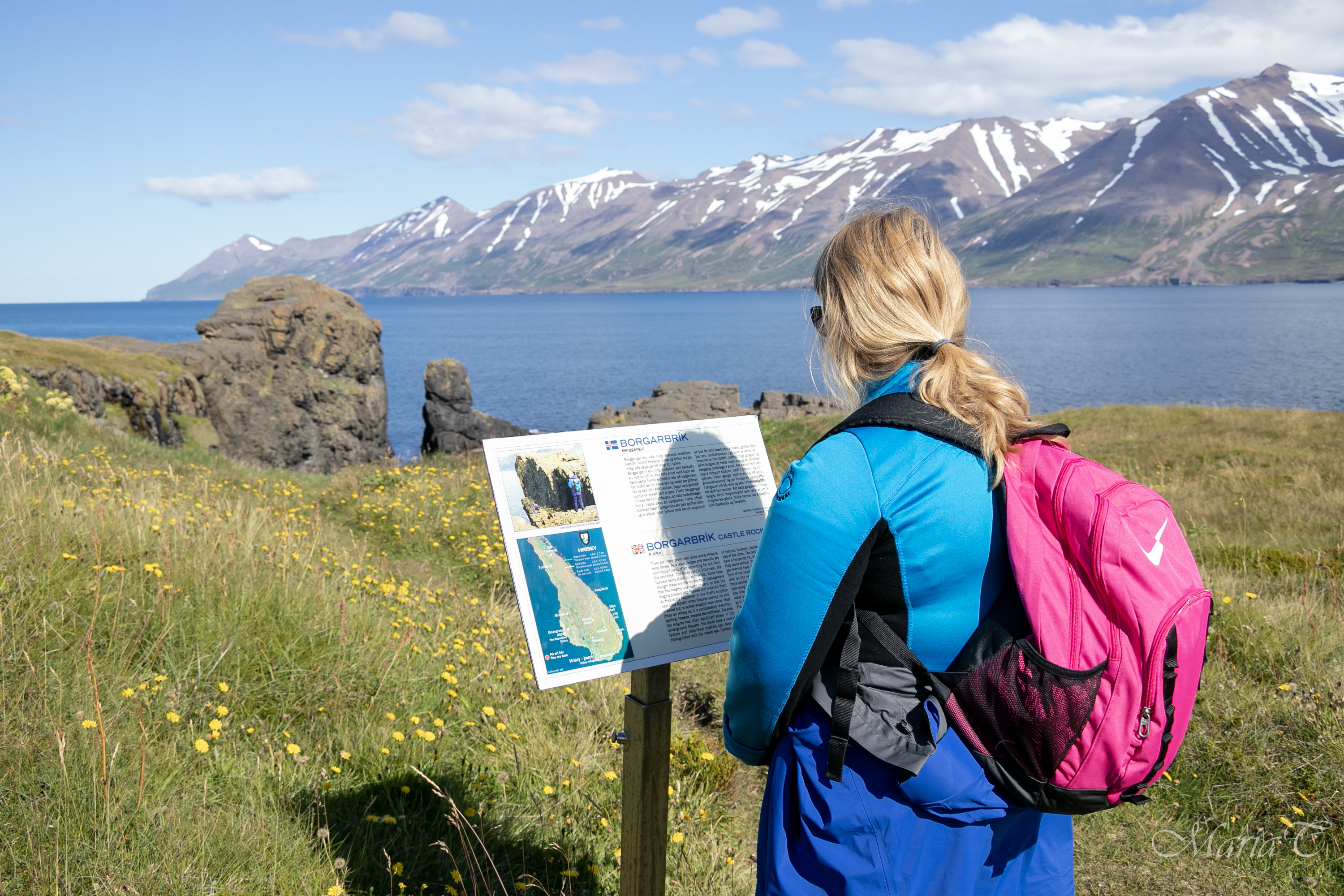
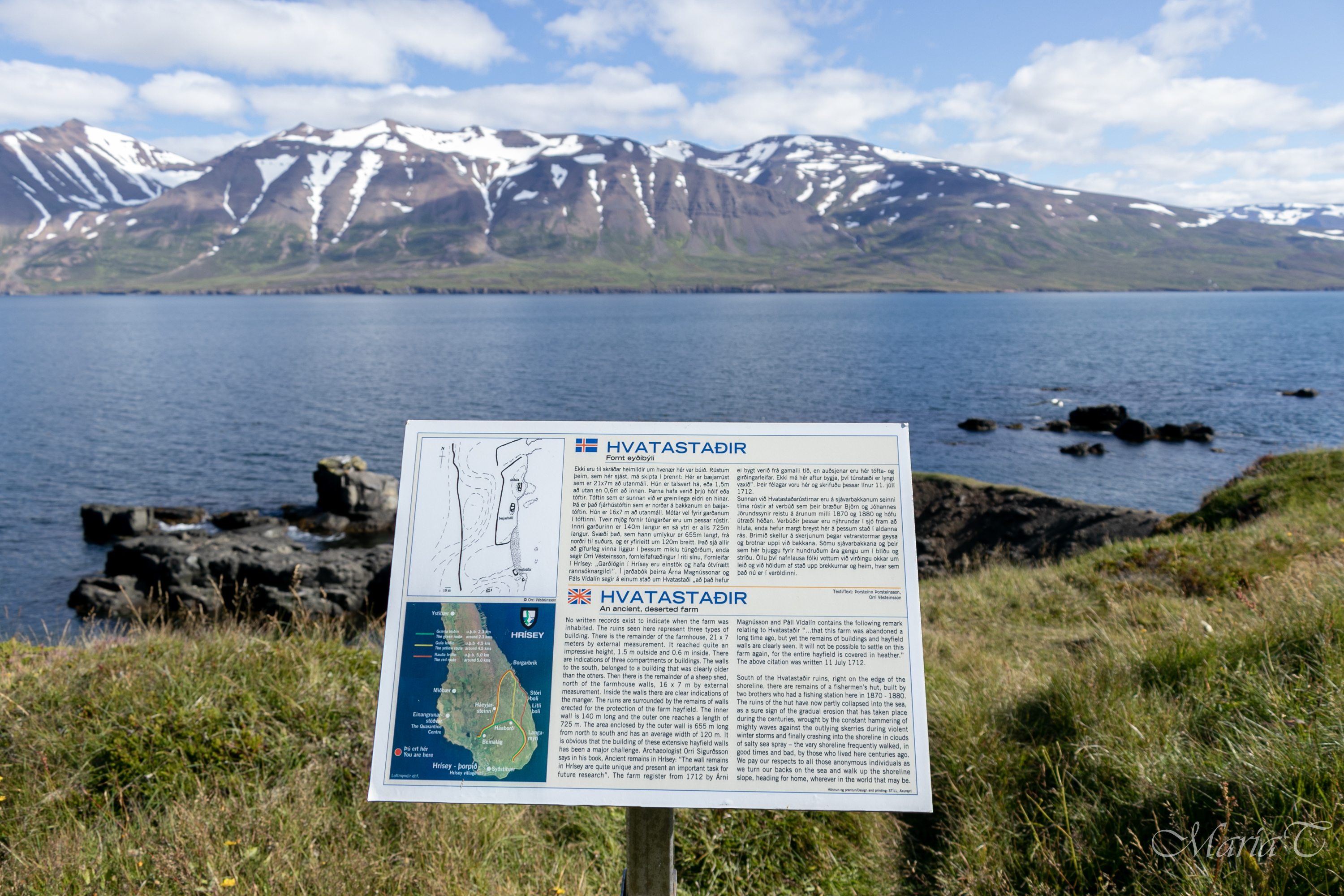
Interesting sights: Village, Rock Borgarbrík, old farm Hvatastaðir, art Yggldrasil, Energy well
A scenic hike up on the island and along the rocky east coast. During the hike one passes through the village, rich angelica fields and by the wooden racks used for drying fish. The walk goes through rich heathland, down to the rocky east coast where one can enjoy view of cliff formations and skerries and when lucky even spot whales close to the shore.
Along the trail one passes remains of a very old farm from the times of settlements Hvatastaðir and peat harvest fields.
On the trail where green and red merge one finds the art peace Yggldrasil (inspired by the Old Norse mythology) which is an immense mythical tree that plays a central role in Norse cosmology, where it connects the Nine Worlds.
The art piece was inaugurated in 1998 by the American artist David Hebb who got a Fulbright grant to create an art piece in Hrísey which should connect the old Norse mythology with modern industry in some context. The art piece is four meters in diameter and 3 meters high.
Further along the trail southwards through the energy well with plenty of benches for tired hikers thirsting for an energy-update. Continue through the sheltered forestry area and a small pond before returning to the south end of the main road Norðurvegur which leads back to the village.
Map of the hike with elevation profile
3) Yellow trail
Distance: 6.8 km (roundtrip)
Duration: 2+ hours
Terrain: Asphalt on roads in the village, gravel, and mud trails
Start/End: Ferry harbour
Parking: Árskógssandur – ferry harbour
Interesting sights: Village, Rock Borgarbrík, old farm Hvatastaðir, art Yggldrasil, Energy well
A nice hike passing through the village, rich angelica fields and by the wooden racks used for drying fish. The walk goes through rich heathland, down to the rocky east coast where one can enjoy view of cliff formations and skerries and when lucky even spot whales close to the shore.
Along the trail one passes remains of a very old farm Hvatastaðir from the times of settlements from where the trail leaves the coast and up on the island again towards the viewpoint called Háborðið with picknick-table and a lavatory.
 Continue to right and down a small hill down to a flat area with the art peace Yggldrasil (inspired by the Old Norse mythology) which is an immense mythical tree that plays a central role in Norse cosmology, where it connects the Nine Worlds.
The art piece was inaugurated in 1998 by the American artist David Hebb who got a Fulbright grant to create an art piece in Hrísey which should connect the old Norse mythology with modern industry in some context. The art piece is four meters in diameter and 3 meters high.
Further along the trail southwards through the energy well with plenty of benches for tired hikers thirsting for an energy-update. Continue through the sheltered forestry area and a small pond before returning to the southend of the main road Norðurvegur which leads back to the village.
Map of the hike with elevation profile
4) Blue trail
Distance: 4 km (roundtrip)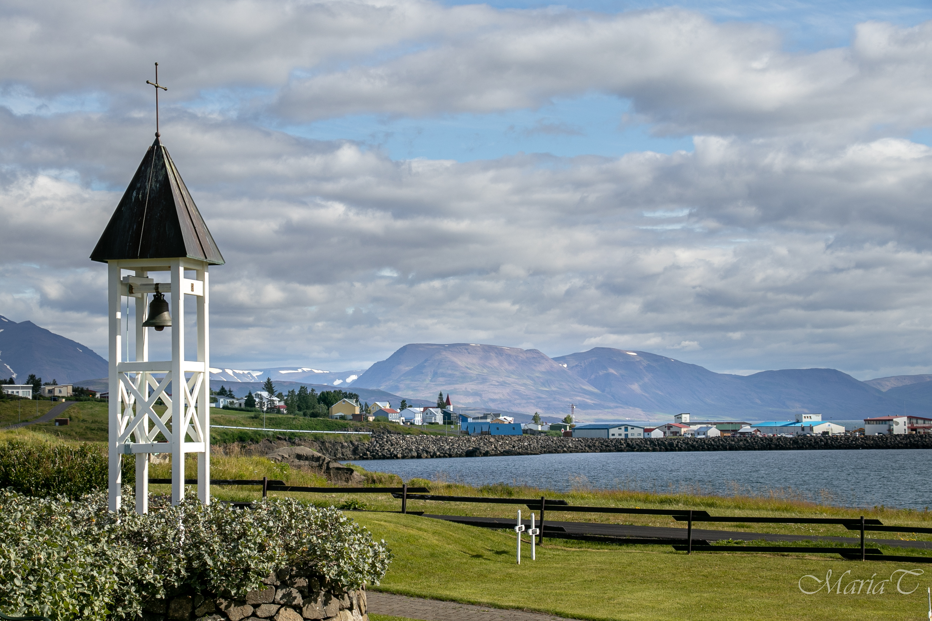
Duration: 1+ hour
Terrain: Asphalt on roads in the village, gravel and mud trails
Start/End: Ferry harbour
Parking: Árskógssandur – ferry harbour
Interesting sights: Village, birdpond and birdwatchinghut, airport, graveyard and beach/coastline.
Many sights on the islands west coast differ from the rest. The hike starts by the harbour, walk along Sjávargata and up to the middle of the village by the church. From there head north along the Norðurvegur.
cross the angelica fields and by the sign for the bird watching house make a small detour to the pond and the house.
When back to Norðurveg continue a small distance more to the north and turn left along a mud/grassy track towards and across the island gravel airstrip. In the distance you can notice a small bus shelter functioning as the airport. Well down on the road Lambhagavegur turn towards the village (to the south) until the crossroad leading down to the graveyard. Here you have a great view to the village and the fjords west coast with the village Dalvík in sight. 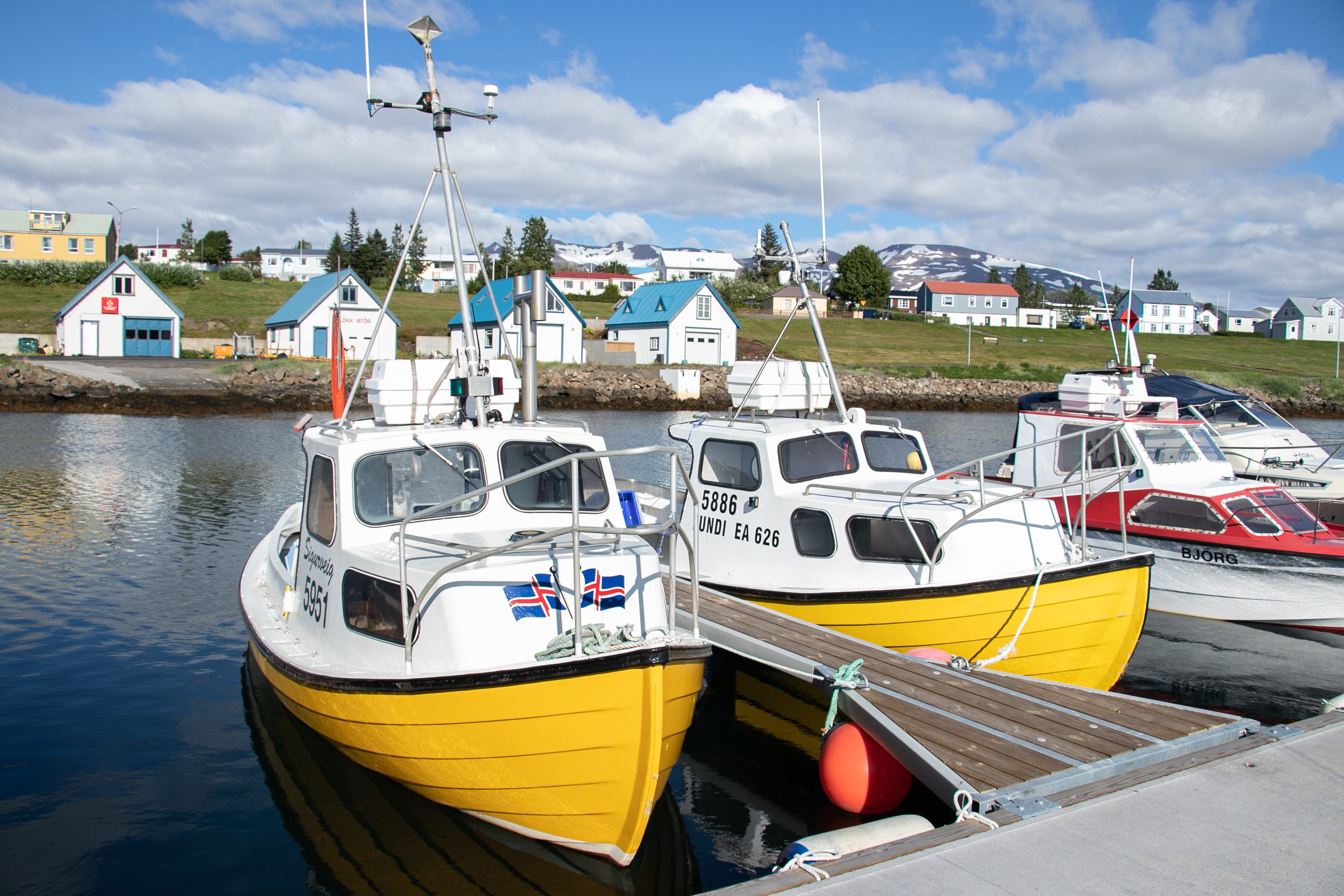 There are two options for continuing from here, back to Lambhagavegur and towards the village or down to the coast and along it pass the pond which during summer is a popular spot or all kinds of birds - and from there return to the Lambhagavegur.
After continuing along Lambhagavegur for some minutes one can see a track going down to one of the islands sandy beaches a nice place to pay a visit before entering the village along the Ægisgata and down to the small boat harbour, pass the small houses by the coast and return back to the ferry harbour where we end the hike.
Map of the hike and elevation profile
Green trail
Distance: 4.1 km (roundtrip)
Duration: 1+ hours.
Interesting sights: Village, Háborðið viewpoint, art Yggldrasil, Energy well
Red trail
Distance: 6.7 km (roundtrip)
Duration: 2+ hours.
Interesting sights: Village, Rock Borgarbrík, old farm Hvatastaðir, art Yggldrasil, Energy well
Yellow trail
Distance: 6.8 km (roundtrip)
Duration: 2+ hours
Interesting sights: Village, Rock Borgarbrík, old farm Hvatastaðir, art Yggldrasil, Energy well
Blue trail
Distance: 4 km (roundtrip)
Duration: 1+ hour
Interesting sights: Village, birdpond and birdwatchinghut, airport, graveyard and beach/coastline.