River and Gardens
Glerá and Gardens
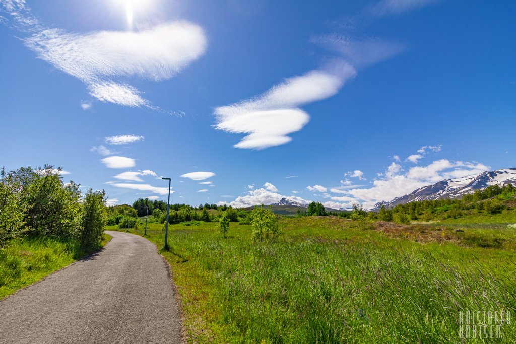
This is a pleasant walking route that follows paved paths along quiet streets, past Glerártorg, along the Glerá River, and through some hidden trails in the town’s leafy neighborhoods.
The walk starts at Ráðhústorg (Town Hall Square) and goes up Brekkugata Street, past the Amtsbókasafnið (County Library), and to the rocks where the statues of Helgi magri and Þórunn hyrna stand—figures who settled in Eyjafjörður.
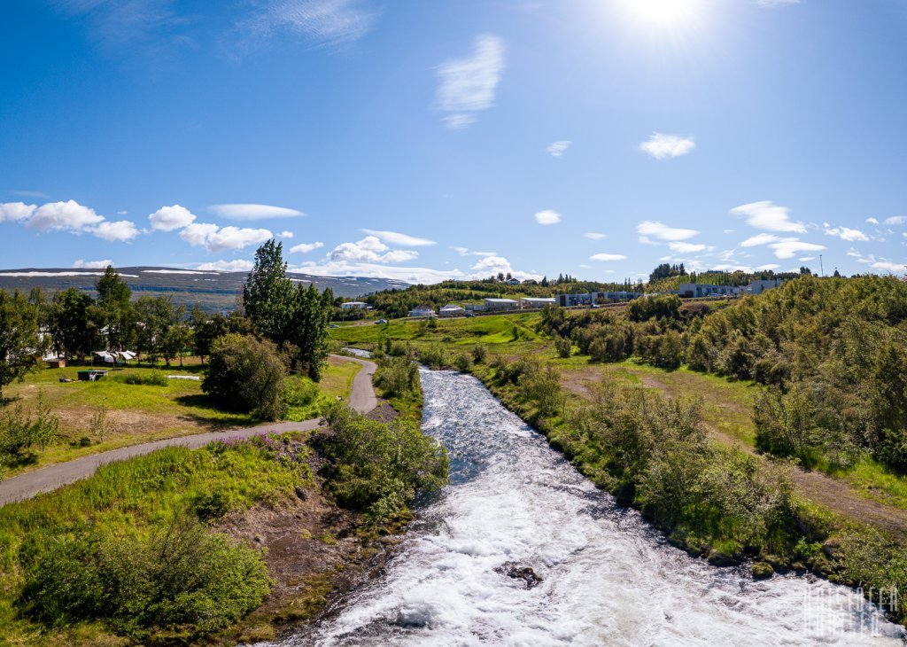
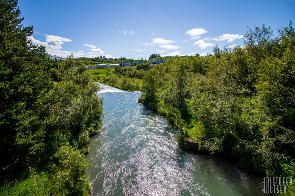
From there, the route heads down to the Glerártorg shopping center and continues to the Glerá River, which the shopping center is named after. Crossing the river, you turn left and follow the riverside path. Along the way, you’ll reach the Bandagerðisbrú, the first drivable bridge over the Glerá, built in 1922. The main road out of Akureyri used to run across this bridge. Today, the bridge is used as a pedestrian and bicycle bridge. Above the bridge, you can see the Glerá Hydropower Plant, which produces about 290 kW of electricity.
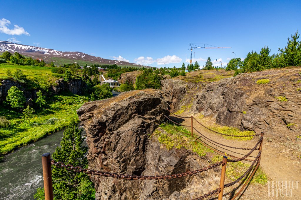
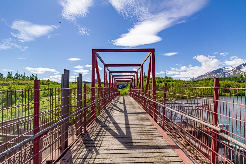
The route does not cross the bridge but continues along the river, where you can choose between two paths: continue on the paved path along the street or descend a gravel/mud path into the ravine near the power plant and up concrete stairs. Either way, the path continues over a red steel pedestrian bridge above the ravine.
Did You Know?
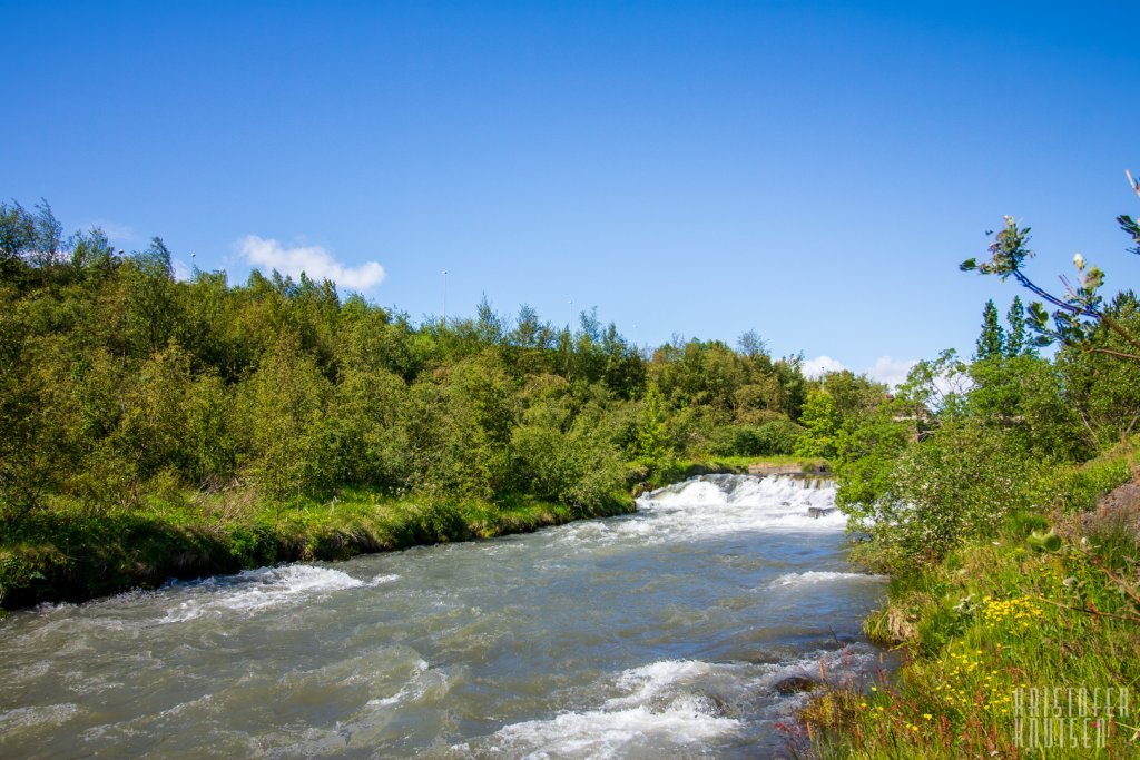
The Glerá River originates in the mountains at the head of Glerárdalur, flowing about 19 km through the valley and then 3 km through Akureyri before emptying into the inner part of Eyjafjörður. The river exhibits characteristics of glacial rivers, spring-fed rivers, and runoff rivers, depending on the season and weather. In spring melt and heavy rain, the water is brown due to sediment, while in summer, glacial water gives the river a grayish color. In winter, flow is at its lowest and the water is clear. The Glerá can thus have a very different appearance within the town depending on the season and weather.
More about the first bridges over the Glerá: link
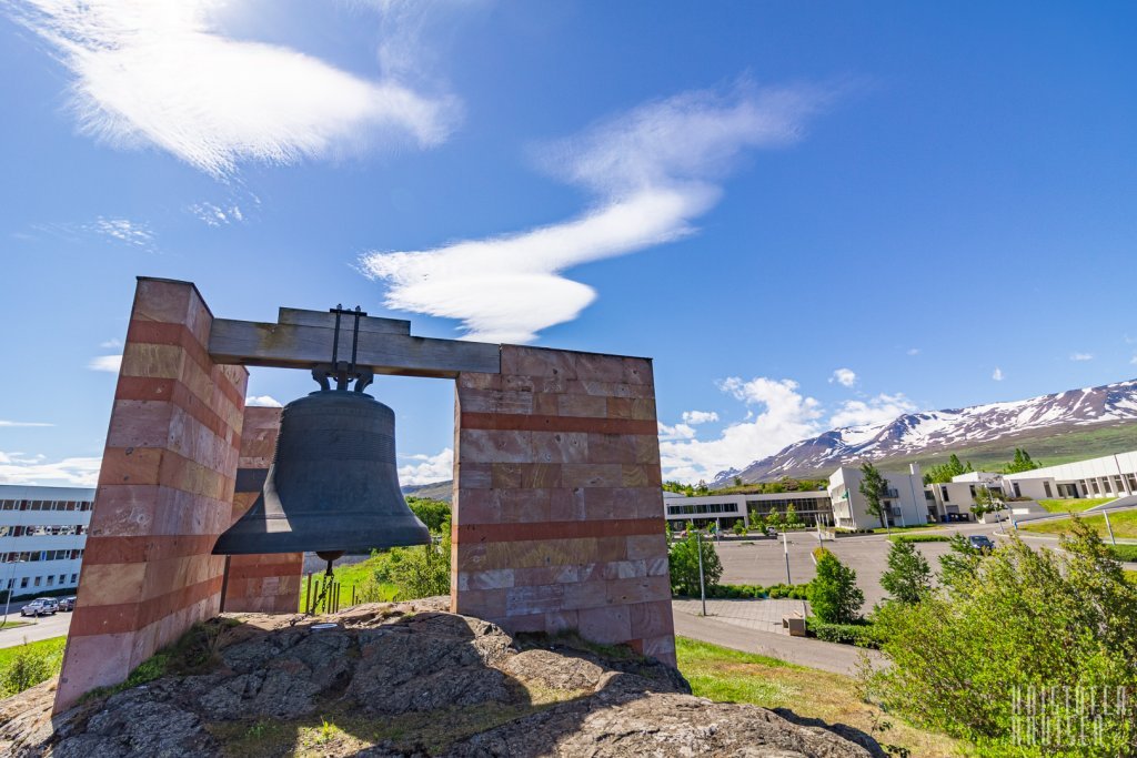
After crossing the bridge, follow the path straight through the underpass at Borgarbraut and head toward the Icelandic Bell, a sculpture which sits on a rocky ridge near the University of Akureyri parking lot. Continue along the path between the university and Borgir, up the hill past the skate park, and into Gerðahverfið neighborhood.
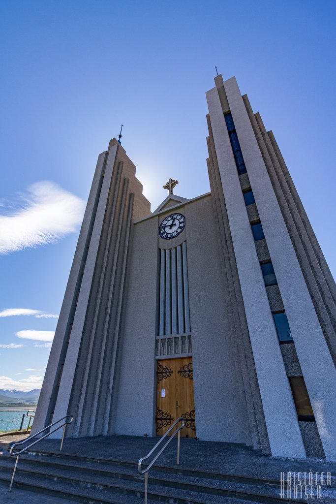
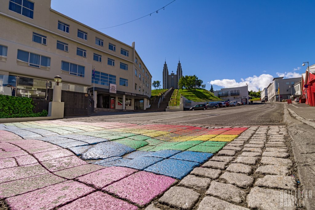
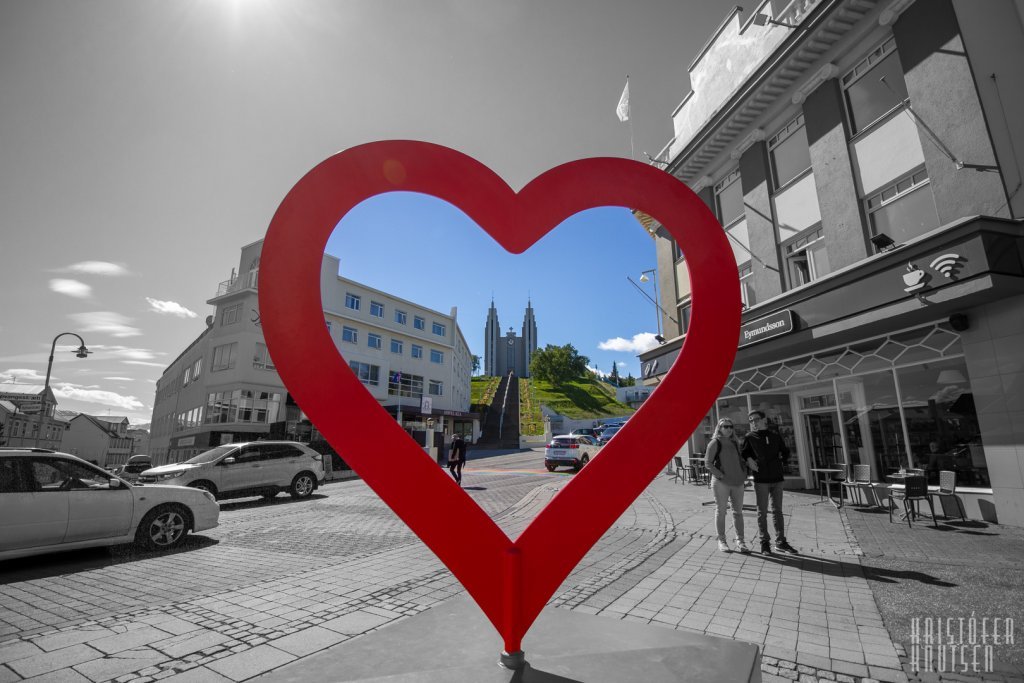
At Stóragerði street, turn left and follow the path all the way down to Byggðavegur. Turn right onto the path through Hamarskotstún park (behind a small corner house). Walk through the park to Þingvallarstræti. At the intersection, turn left, pass the Akureyri Swimming Pool and the duck pond, down the church steps by Akureyrarkirkja, then turn onto Hafnarstræti (toward the town center) and back to Ráðhústorg, where the walk ends.
Difficulty: Easy
Distance: 5.1Km
Time: 60-120 min
Path: 100% asphalt (option of a small gravel/mud path into the ravine)
Start / End of path: Ráðhústorg square
Áhugaverðir staðir: Ráðhústorg (Town Hall Square), Helgi magri and Þórunn hyrna statue, the Glerá River, Glerá Hydropower Plant, the bridges over the Glerá, the Icelandic Bell Sculpture, Akureyri Church.