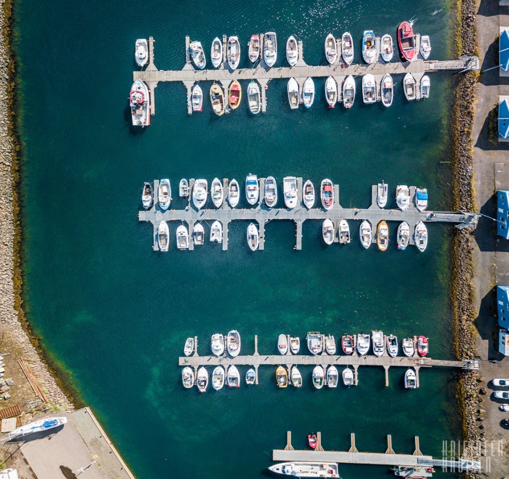
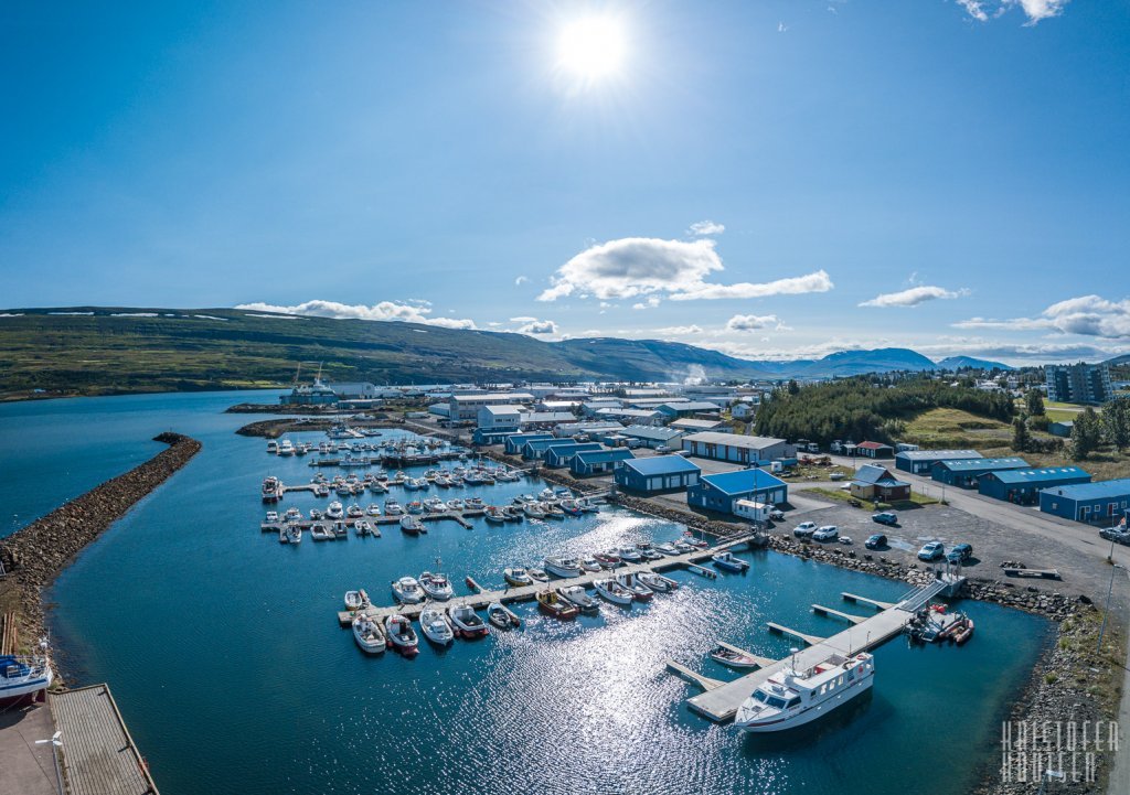
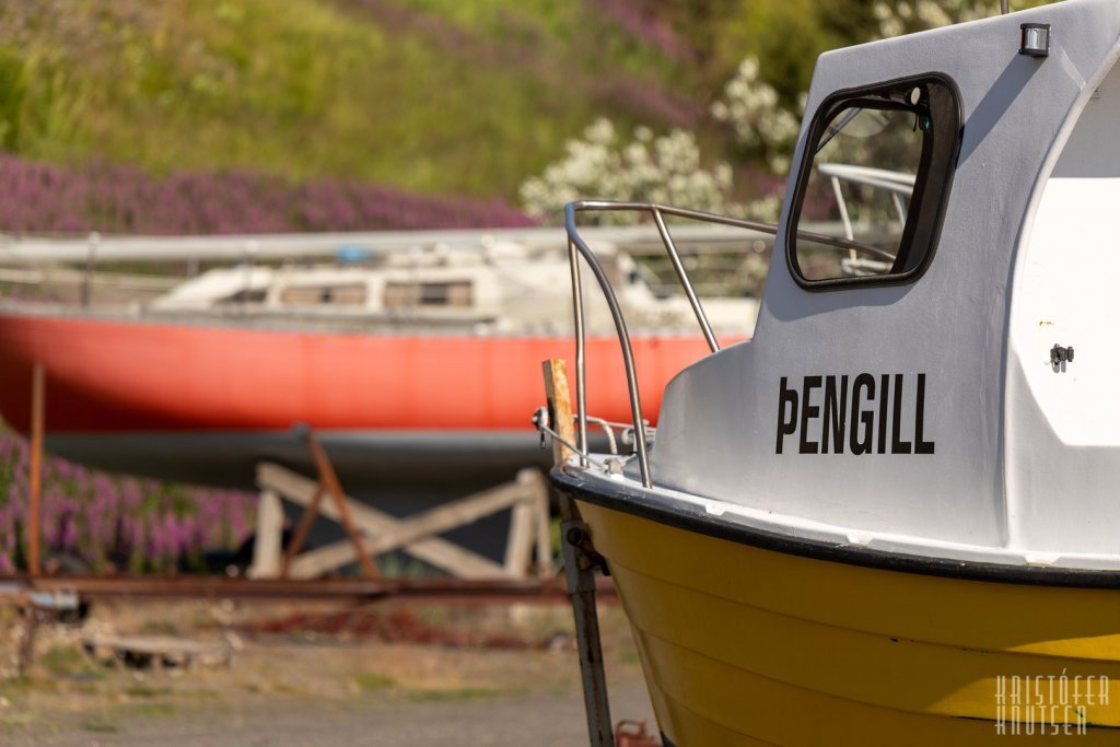
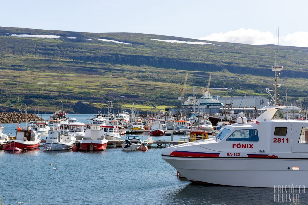
Sandgerðisbót marina
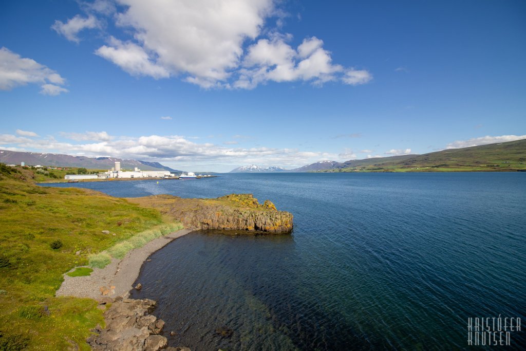
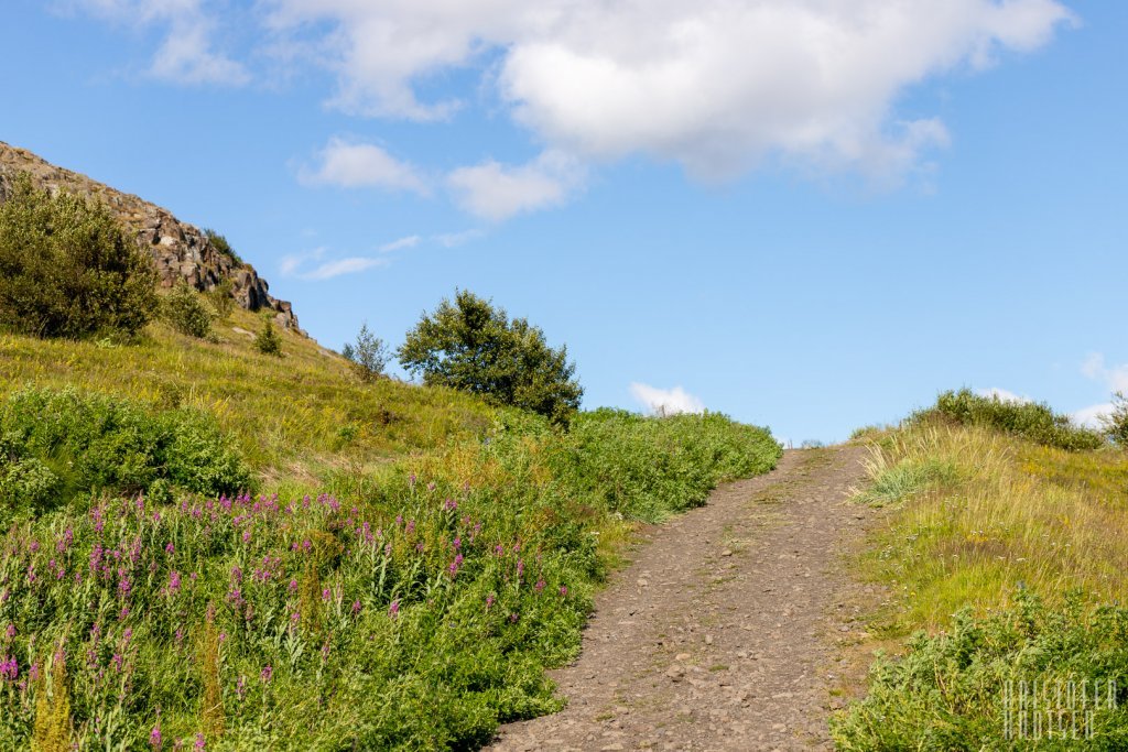
From the parking area, walk along the small boat harbor towards the cliffs north of the marina. On the way you pass the new sewage treatment plant, up an old road in the slope below the rock belt. You can do a loop on the way and walk down to the small bay Sílabás, which is the only untouched sandy beach in an urban area within the town limits.
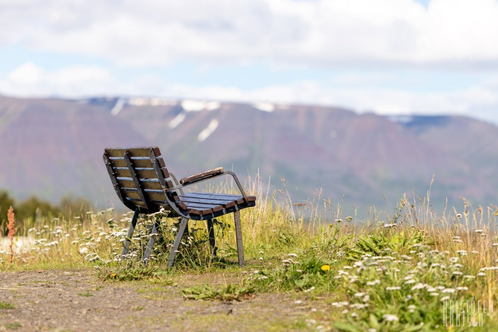
When reaching the top of the hill you get rewarded with a nice view over the marina, the bay and out the fjord. The walk continues away from the road to the left up on to the rocks on the left hand side. Along the rocks to the southwest to the house called Sæberg and past the meteorological station just north of the building. Cross the road Krossanesbraut and follow the sidewalk down to the river Glerá. There cross the street Krossanesbraut again an go onto the sidewalk along the river down to its estuary.
This is an area known for abundant bird life, with many ducks, eider and seagulls. Continue along the side way along the marina until you reach the car park and the circle is completed.
Distance: 2.4Km / 1.5miles (circle)
Total time: 35min
Start/End point: Sandgerðisbót marina
Terrain: asphalt/gravel
Parking: Sandgerðisbót marina
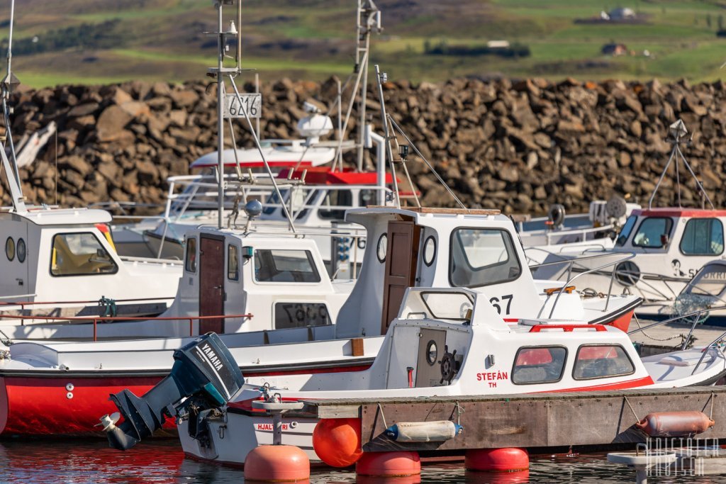
Interesting sights: Marina, fishing stations, Sílabás beach, Sæberg weather station, great view